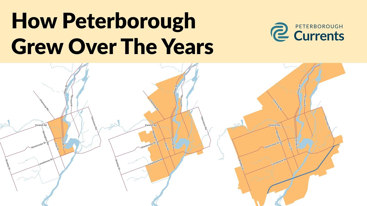
Watch how Peterborough grew over the years
From a small town plot on the banks of the Otonabee to the much bigger city we know today, here’s how Peterborough’s municipal boundaries evolved
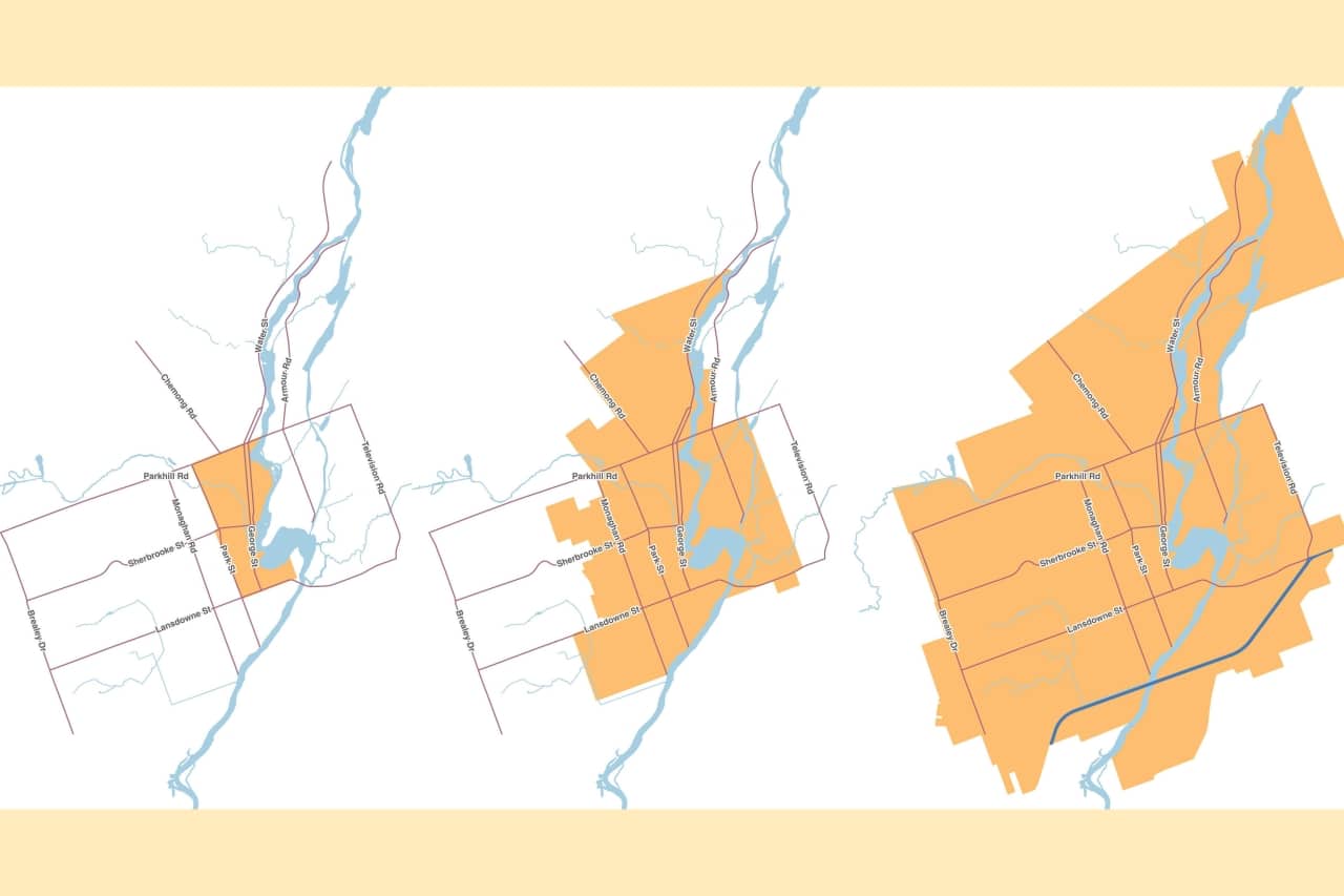
How did the City of Peterborough evolve from a small town plot in the 1820s to the much bigger city that we know today? Through a series of incremental boundary expansions that, one by one, added to the area that the municipal government had jurisdiction over.
In this video, Peterborough Currents walks you through the 200-year history of Peterborough’s municipal boundaries, explaining how the boundaries evolved and some of the consequences we face today as a result of Peterborough’s historical growth patterns.
Peterborough’s boundaries are a subject of debate in 2024. Some argue that the boundaries need to expand to make room for our growing population — and especially to free up land for new employers to develop on. But others argue that we should make more efficient use of the land already within municipal boundaries by developing more densely instead.
It was in this context that a Currents reader wrote to us to ask if we could help them understand the history of Peterborough’s municipal boundaries better. We wanted to answer the reader’s question, and as we did our research we realized that a video would be the best way to share what we learned. We hope you enjoy it and learn something!
Author

Related Articles
Promoting preparedness in East City
A grassroots movement aims to help neighbours out in the next big storm

A century on, descendants of early Chinese restaurant owners still run businesses in Peterborough
Local restaurateur and bar owner Shannon Mak’s great grandfather ran a downtown Chinese restaurant starting in the 1910s

Self-esteem coach. TV camera operator. Blacksmith. Volunteer fair showcases some unexpected ways to give back.
With volunteering on the decline in Canada, Volunteer Peterborough is trying to make it easier to contribute